Lake Harris Boating and Fishing Guide
Plan a responsible day on the Harris Chain with current official resources and the park’s confirmed waterfront information.
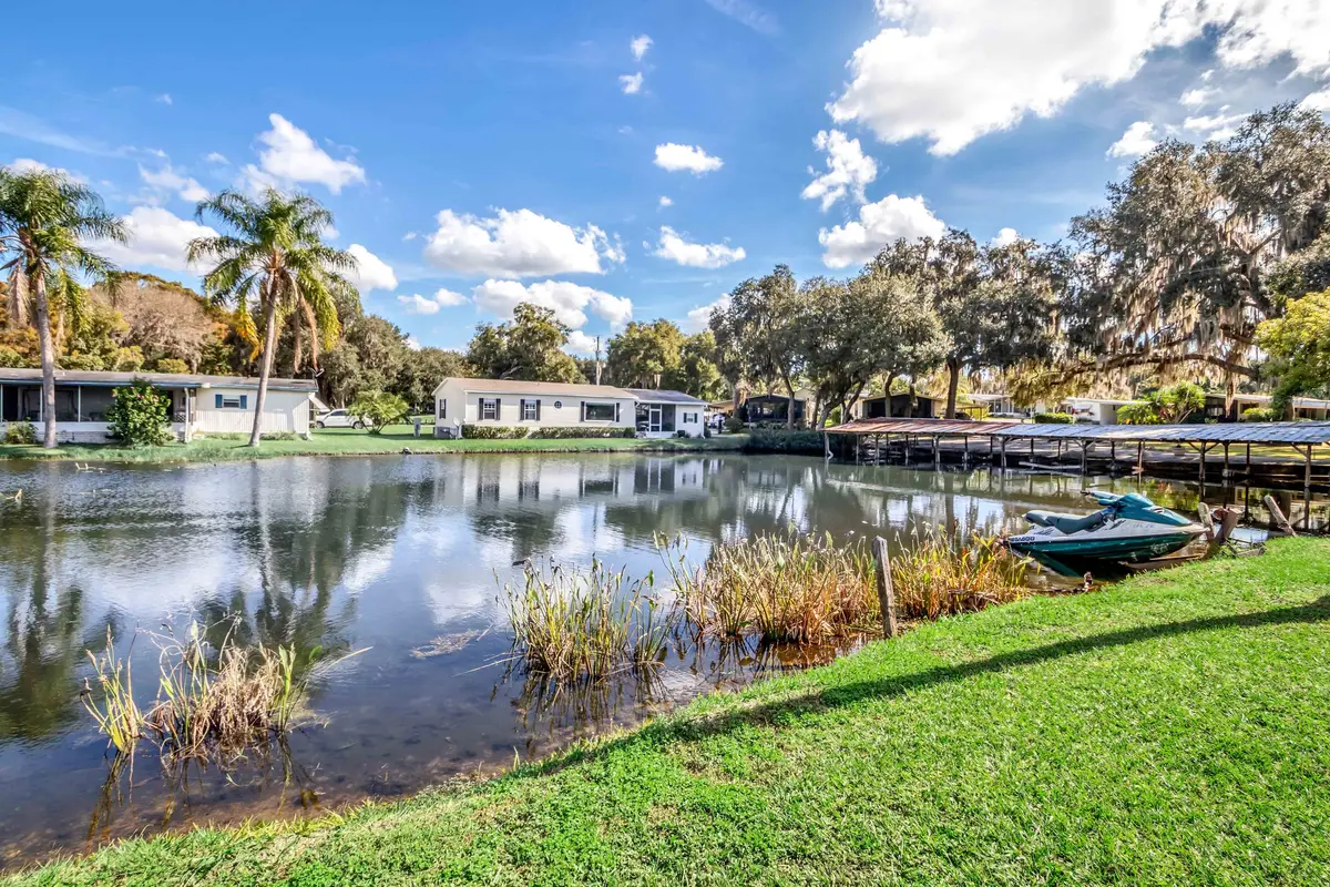
Know the water you are visiting
Lake Harris is part of a connected Central Florida lake system managed for fishing, boating, wildlife, navigation, and habitat. Conditions, vegetation work, marked project areas, regulations, and public access information can change.
- FWC Harris Chain fishing information and access resources
- Florida boating safety and education
- Florida freshwater fishing license information
- Lake County Harris Chain map and boating guide
Check the weather, official notices, required safety equipment, licenses, and the condition of your chosen ramp immediately before departure.
Orient yourself on the Harris Chain
Lake Harris connects to a larger chain of lakes and waterways in Lake County. The map below is for regional orientation, not navigation. Use current charts, marked channels, official notices, and an appropriate navigation source on the water. Never assume that a visible canal, shoreline, or dock is public access.
For a printable overview, use the linked Lake County Harris Chain map. Before launching, match the lake, ramp, parking area, and destination in the official source to the place you actually intend to use.
Plan for changing fishing and boating conditions
Water levels, weather, vegetation work, fish behavior, public-ramp access, and temporary notices can change across the year. Use the current FWC page above for lake-specific updates instead of relying on an undated fishing report.
- Check current weather and wind before launching or fishing.
- Review the current freshwater license and regulation requirements for your party.
- Confirm the public ramp, parking, and destination access you intend to use.
- Keep public access rules separate from Hide-A-Way Harbor’s guest-only amenities and policies.
Plan by season without relying on an undated report
A useful seasonal plan is a verification routine, not a promise about where fish will be. Air and water temperature, storms, water levels, vegetation, spawning behavior, pressure, and agency work can all affect the day. Check the FWC lake page, the current forecast, and on-site notices close to departure.
- Cooler periods: prepare for changing fronts, wind, and rapidly shifting conditions rather than assuming a winter pattern will hold.
- Warming periods: review current regulations and habitat information before targeting shallow areas or spawning fish.
- Hot and storm-prone periods: plan around heat, lightning, hydration, and an early return route.
- After major weather: recheck ramp access, debris, water conditions, advisories, and park instructions before going.
Know the commonly discussed freshwater species
Official Florida sources discuss largemouth bass, black crappie, bluegill, redear sunfish, catfish, and other freshwater species across the Harris Chain and connected waters. Species presence does not guarantee a catch, a season, or a legal harvest. Confirm identification, size and bag limits, gear rules, and any location-specific regulation with FWC before fishing.
A current species guide belongs beside, not in place of, a current license and regulations check. If you cannot identify a fish confidently, release it carefully when lawful and seek current official guidance.
Use a before-departure safety check
- Check National Weather Service forecasts, radar, wind, heat, and lightning risk.
- Carry the required wearable life jackets and safety equipment for the vessel and passengers.
- Confirm boater-education requirements, vessel registration, lights, sound-producing devices, and emergency gear.
- Tell someone the route and expected return, carry charged communication equipment, and keep a safe return margin.
- Do not mix alcohol or impairing substances with vessel operation.
- Give wildlife, vegetation-management equipment, marked work areas, and other vessels adequate room.
Boat slips for park guests
Current boat-slip terms: Boat slips are offered to guests staying at the park for $200 per month, subject to availability and confirmation by the park.
A slip is separate from an RV-site reservation and remains subject to current availability. Confirm boat fit, access, trailer parking, storage, and arrival instructions with park staff before bringing equipment.
Waterfront RV sites
Current waterfront terminology: Waterfront-category RV sites may be on the Lake Harris shoreline or along the property's canal frontage. The site category and location shown for an available option govern.
Waterfront placement does not automatically include a boat slip or identical water access. Use the available site description and ask the park about any boat-related requirement before completing your plans.
Review lake and property amenities, compare short-term RV-site information, or explore long-term RV living on Lake Harris.
For wider trip planning, use the Lake Harris RV camping guide, the Lake County RV park guide, the guide to things to do near Lake Harris, and the honest location guide for an RV stay near Tavares.
See the Hide-A-Way Harbor photo gallery for first-party property images and use the arrival and property map for land-based orientation. Neither page replaces current boating charts or public-access information.
Official planning sources
- FWC Lake Harris and Harris Chain information
- FWC freshwater fishing licenses
- FWC freshwater fishing regulations
- FWC boating safety and education
- National Weather Service
Information reviewed August 31, 2026. Regulations, access, conditions, and safety requirements can change; verify them before each trip.